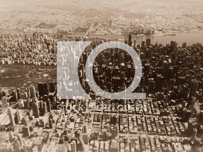
Manhattan Aerial Sepia View | New York City History Stock Photo – 0035888

$49.99

Description

A sepia-toned aerial view of Manhattan photographed from an airplane above New York City. The overhead perspective reveals the dense grid of streets, buildings, and urban infrastructure that define one of the most historically significant metropolitan landscapes in the world.

This image works well for editorial features about New York City history, urban development publications, architecture articles, and cultural storytelling about the evolution of Manhattan. The sepia tone reinforces the historic atmosphere while the aerial perspective shows the organized structure of the city’s iconic street grid.

Authentic photography with clear commercial licensing β€” no AI, no subscriptions, no ambiguity.

Suggested Uses & Value

β€’ Editorial features about New York City history
β€’ Urban development and architecture publications
β€’ Cultural storytelling about Manhattan
β€’ City infrastructure and planning articles
β€’ Website banners highlighting historic city imagery

πŸ“ Visual Insight & Design Tip

Aerial city grids create strong geometric patterns that communicate urban scale. Designers can place headlines in lighter sections while the repeating city blocks provide visual texture.

Digital File Size:

2592 x 1944 px

βš“ Designed as a Visual Foundation

The Manhattan street grid forms a repeating architectural pattern while the sepia tone enhances the historic character of the aerial view.

Collection + FAQs

This image is part of Stock Photo Queen’s curated New York City aerial and historic urban landscape collection β€” created for buyers who value authentic metropolitan imagery and straightforward licensing.

β€’ License | Editorial use only
β€’ Use | News, education, documentary, publications
β€’ Credit | Appreciated, not required
β€’ License scope | One license per client
β€’ Delivery | Final sale digital download

βœ” Historic aerial city imagery is frequently selected because it visually represents the scale and evolution of major metropolitan centers.